

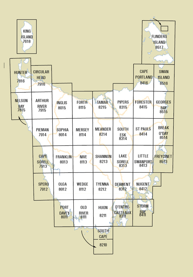
The 1:100,000 Topographic series has been archived following the introduction of the 1:50,000 Topographic mapping series in 2015.
This series comprises 40 maps covering all of Tasmania (excluding Macquarie Island). Individual maps cover an area of approximately 2,400 square kilometres.
Maps show both man-made and natural features. Roads are symbolized to reflect their surface, accessibility and importance to the State network. Distances between major road intersections and the portrayal of selected addressed buildings aid vehicle navigation. All major reserved land and foot tracks are clearly defined. The shape of the ground is depicted by using a combination of contours (at a 20 metre vertical interval) and hillshading. Both forested and non-forested areas are shown.
-
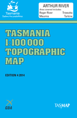
Arthur River 1:100000 Topographic Map
From $2.00 AUD( / )Unavailable -
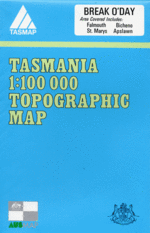
Break O'Day 1:100000 Topographic Map
From $2.00 AUD( / )Unavailable -
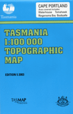
Cape Portland 1:100000 Topographic Map
From $2.00 AUD( / )Unavailable -
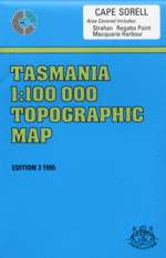

Cape Sorell 1:100000 Topographic Map
From $2.00 AUD( / )Unavailable -
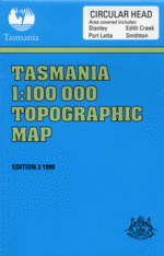

Circular Head 1:100000 Topographic Map
From $2.00 AUD( / )Unavailable -
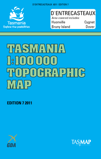
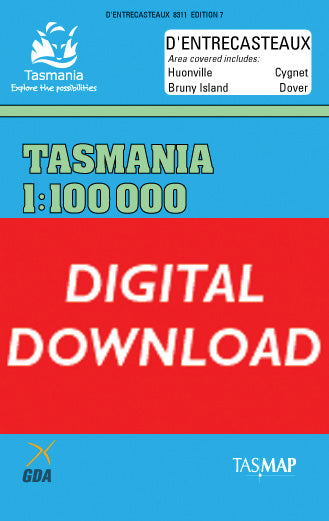
D'Entrecasteaux 1:100000 Topographic Map
From $2.00 AUD( / )Unavailable -
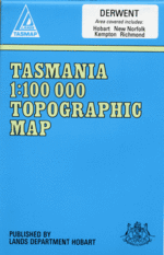
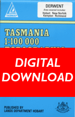
Derwent 1:100000 Topographic Map
From $2.00 AUD( / )Unavailable -
Digital Complete State 1:100000 Coverage
$55.00 AUD( / )Unavailable -

Flinders Island 1:100000 Topographic Map
From $2.00 AUD( / )Unavailable -
Forester 1:100000 Topographic Map
From $2.00 AUD( / )Unavailable -
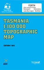
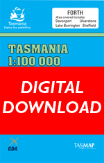
Forth 1:100000 Topographic Map
From $2.00 AUD( / )Unavailable -
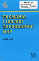

Franklin 1:100000 Topographic Map
From $2.00 AUD( / )Unavailable -
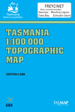
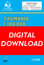
Freycinet 1:100000 Topographic Map
From $2.00 AUD( / )Unavailable -
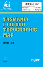
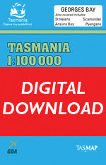
Georges Bay 1:100000 Topographic Map
From $2.00 AUD( / )Unavailable -

Hunter 1:100000 Topographic Map
$2.00 AUD( / )Unavailable -
 From $2.00 AUD( / )Unavailable
 -
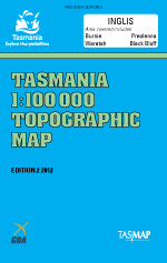
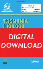
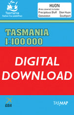
Inglis 1:100000 Topographic Map
From $2.00 AUD( / )Unavailable -
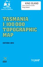
King Island 1:100000 Topographic Map
From $2.00 AUD( / )Unavailable -
Lake Sorell 1:100000 Topographic Map
From $2.00 AUD( / )Unavailable -
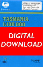
Little Swanport 1:100000 Topographic Map
From $2.00 AUD( / )Unavailable -
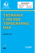
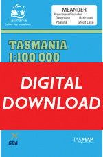
Meander 1:100000 Topographic Map
From $2.00 AUD( / )Unavailable -
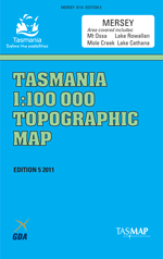

Mersey 1:100000 Topographic Map
From $2.00 AUD( / )Unavailable -

Nelson Bay 1:100000 Topographic Map
From $2.00 AUD( / )Unavailable -
 From $2.00 AUD( / )Unavailable


