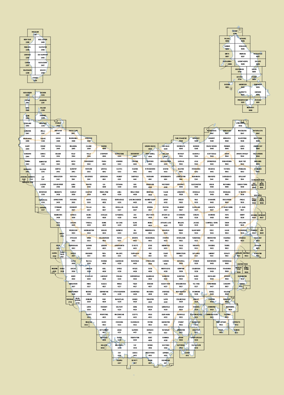
Digital Complete State 1:25000 Coverage
The 1:25 000 Topographic/Cadastral mapping series has been archived following the introduction of the 1:50 000 Topographic mapping series in 2015. As the majority of this series was produced over 30 years ago, much of the information shown is now outdated. The 1:50 000 series should be referenced for current information.
The complete Statewide digital coverage at 1:25000 is available for download as 4 zip files (6.26GB total). The 414 individual 1:25000 digital maps are supplied in 2 formats; GeoTIFF is suitable for use with many smartphones, GPS devices and in GIS software packages, while the KMZ will automatically open in Google Earth.
Each map covers a 10 x 20 kilometre area with a 1 kilometre grid based on the Universal Transverse Mercator projection (UTM). At this scale, 1 millimetre on the map represents 25 metres on the ground. From 2003 these maps were produced on the Map Grid of Australia (MGA94) which utilises the Geocentric Datum of Australia 1994 (GDA94). GDA94 maps have an overlapping bleed edge on the northern and eastern sides. This extension fills the gap between the older Australian Map Grid 1966 (AMG66) / Australian Geodetic Datum 1966 (AGD66) maps and the new maps on the GDA94 datum.

