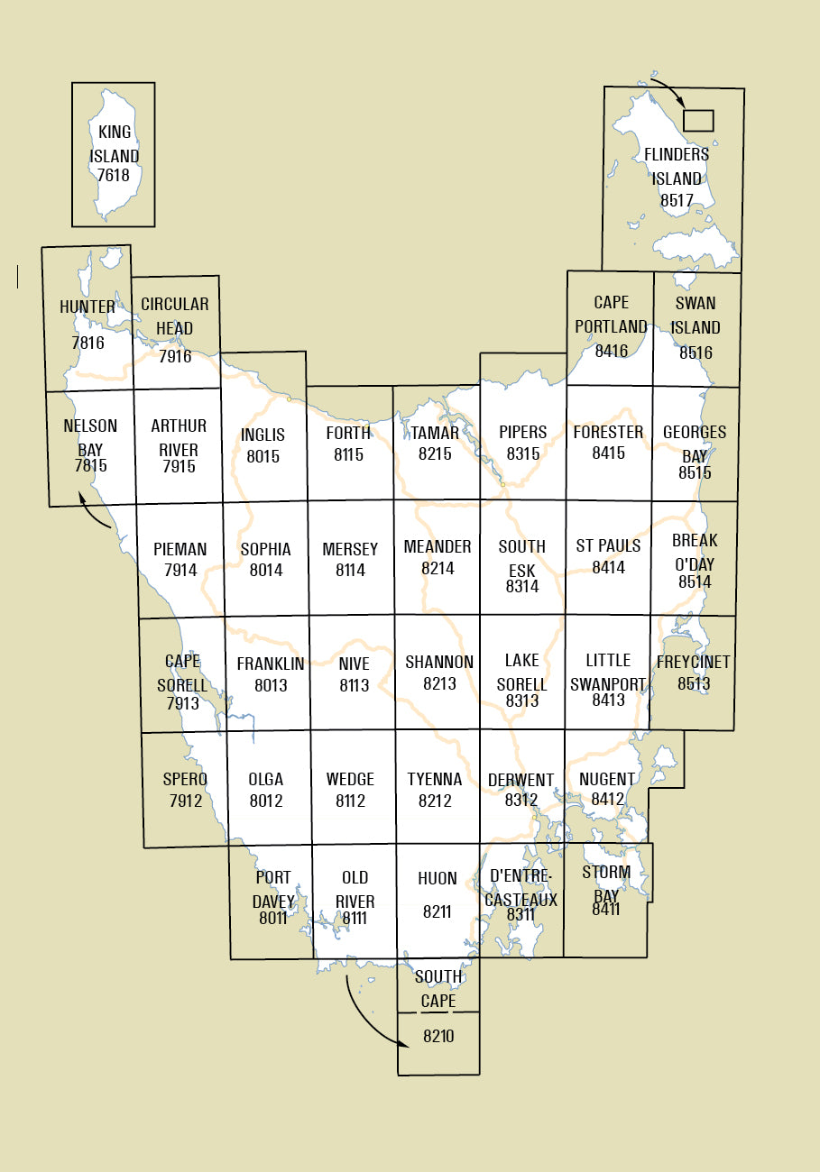
Digital Complete State 1:100000 Coverage
The 1:100 000 Topographic mapping series has been archived following the introduction of the 1:50 000 Topographic mapping series in 2015.
The complete Statewide digital coverage at 1:100000 is available for purchase as a single download (650MB). The 40 individual 1:100000 digital maps are supplied in 2 formats; GeoTIFF is suitable for use with many smartphones, GPS devices and in GIS software packages, while the KMZ will automatically open in Google Earth.
Maps show both man-made and natural features. Roads are symbolized to reflect their surface, accessibility and importance to the State network. Distances between major road intersections and the portrayal of selected addressed buildings aid vehicle navigation. All major reserved land and foot tracks are clearly defined. The shape of the ground is depicted by using a combination of contours (at a 20 metre vertical interval) and hillshading. Both forested and non-forested areas are shown.
This series is recommended for adventurous people who are likely to travel between 10 and 40 kilometres per day in rural or remote areas. The map is popular with bushwalkers, off-road enthusiasts, anglers and canoeists.

