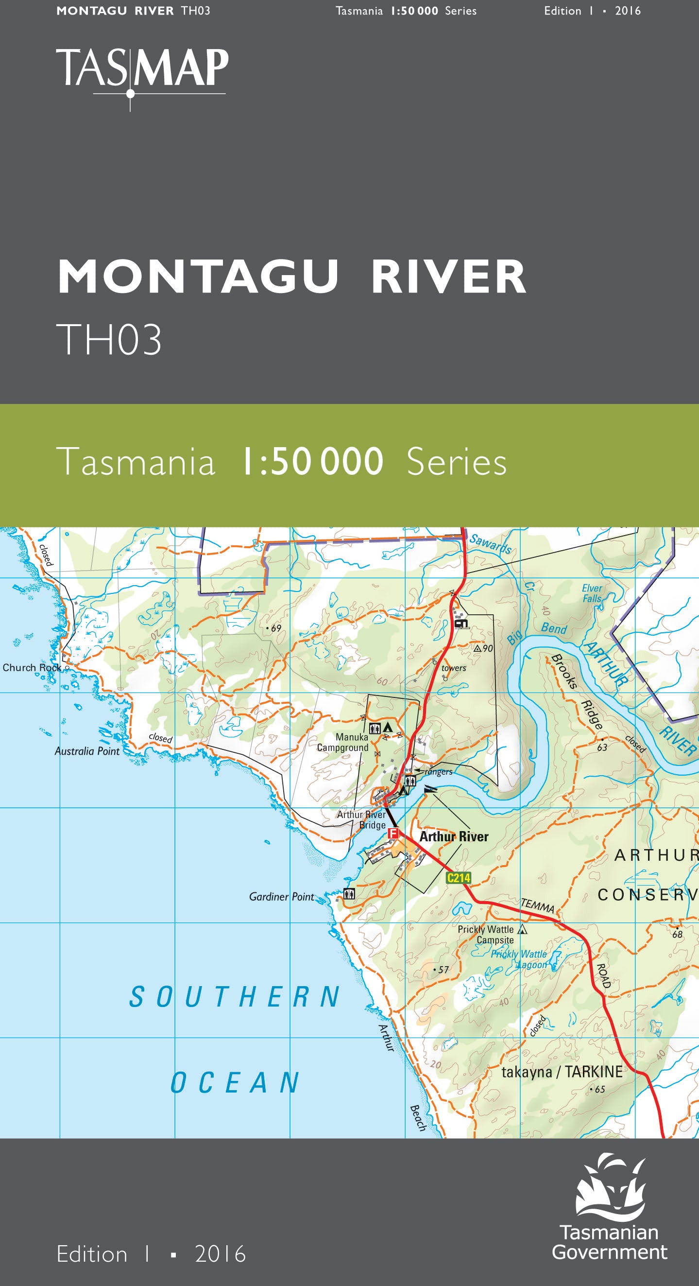
Montagu River 1:50000 Topographic Map
$13.95 AUD
(
/
)
Unavailable
GST included
Edition: 1
Production Year: 2018
Datum: Geocentric Datum of Australia 1994 (GDA 1994)
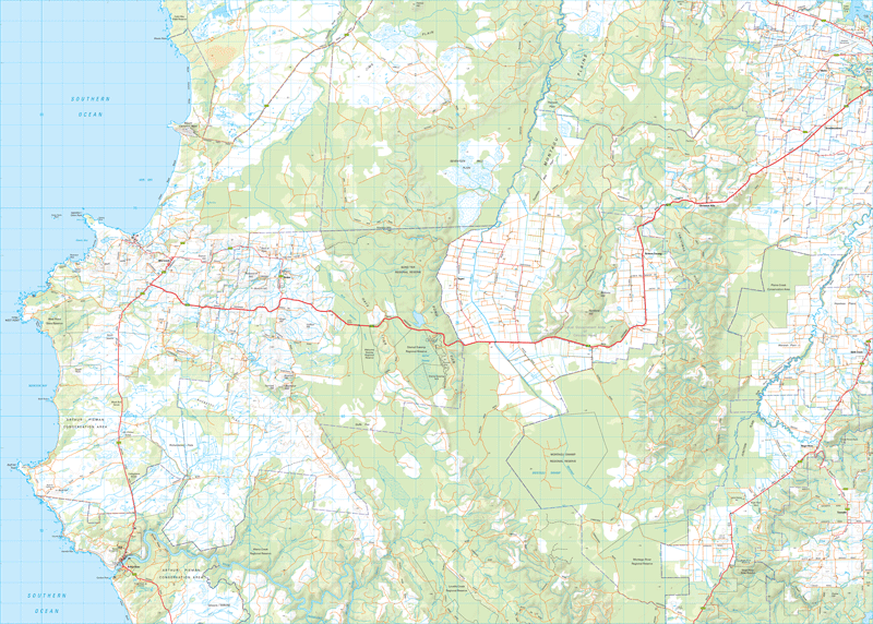
The area portrayed on this map is dominated by fertile agricultural plains used mainly for extensive dairying enterprises. The rural villages of Mella, Broadmeadows, Edith Creek and Roger River are located in the east with the coastal township of Marrawah to the west, renowned in the surfing world for its big wave surf at Green Point Beach. Arthur River, further to the south, is considered to be the northern gateway to the Arthur Pieman Conservation Area and takayna / Tarkine wilderness. Covering 600 hectares, Dismal Swamp is believed to be the only blackwood forest sinkhole in the world. Formed over thousands of years by dissolving dolomite, it is a popular destination in this area. This map is an essential navigation aid for the adventurous exploring the northwest.
If a digital download is purchased you will receive 3 files. The GeoTIFF and GeoPDF are suitable for use with many smartphones, GPS devices and in GIS software packages. The KMZ will automatically open in Google Earth.


