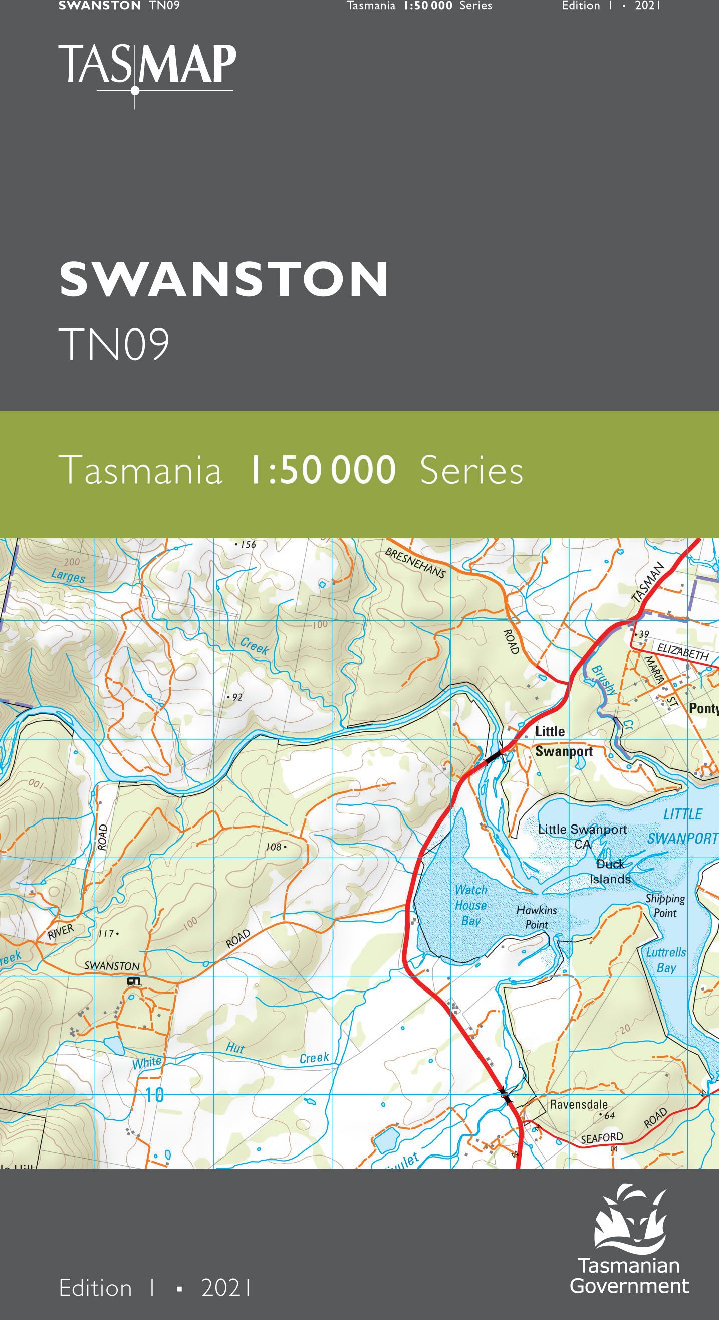
Swanston 1:50000 Topographic Map
$13.95 AUD
(
/
)
Unavailable
GST included
Edition: 1
Production Year: 2021
Datum: Geocentric Datum of Australia 2020 (GDA 2020)
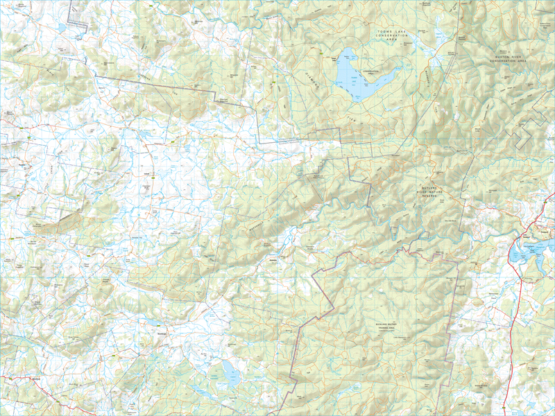
Swanston is a small rural location within the local government area of Southern Midlands, located approximately 69km from Hobart. Featured on the map is the Tooms Lake Conservation Area. Tooms Lake is popular for recreational fishing as it is shallow and ideal for small boats. To the east are the small townships of Little Swanport and Pontypool. Just north of Little Swanport is Mayfield Bay camping area, a popular spot among caravanners looking for seaside camping and fishing.
If a digital download is purchased you will receive 3 files. The GeoTIFF and GeoPDF are suitable for use with many smartphones, GPS devices and in GIS software packages. The KMZ will automatically open in Google Earth.


