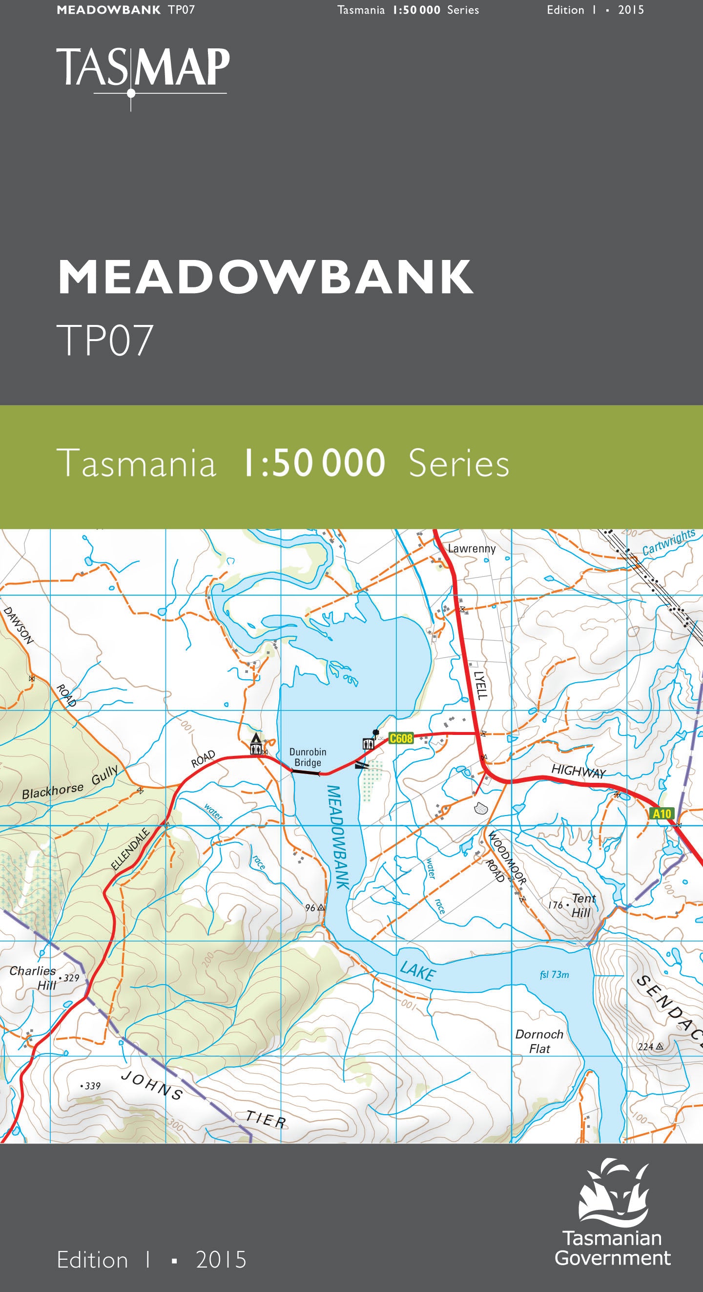
Meadowbank 1:50000 Topographic Map
$13.95 AUD
(
/
)
Unavailable
GST included
Edition: 1
Production Year: 2015
Datum: Geocentric Datum of Australia 1994 (GDA 1994)
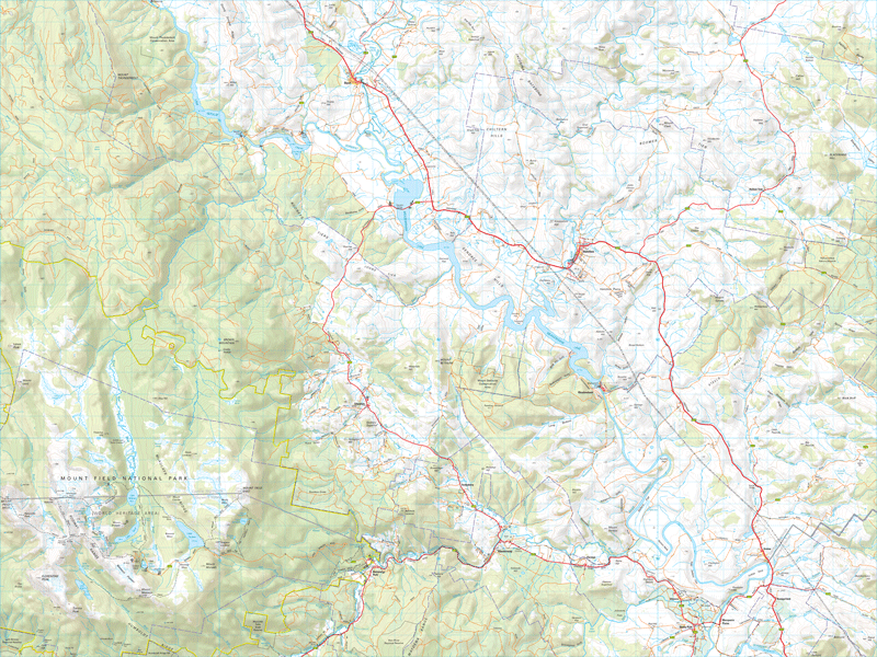
This map covers the rural lower Derwent Valley between Ouse and Bushy Park and includes the historic township of Hamilton. Meadowbank Lake is the central feature and is a popular recreational venue for water skiing and fishing. Mount Field National Park in the south west of the map is noted for its glacial landscape and numerous bush walks.
If a digital download is purchased you will receive 3 files. The GeoTIFF and GeoPDF are suitable for use with many smartphones, GPS devices and in GIS software packages. The KMZ will automatically open in Google Earth.


