Prosser 1:50000 Topographic Map
$13.95 AUD
(
/
)
Unavailable
GST included
Edition: 1
Production Year: 2017
Datum: Geocentric Datum of Australia 1994 (GDA 1994)
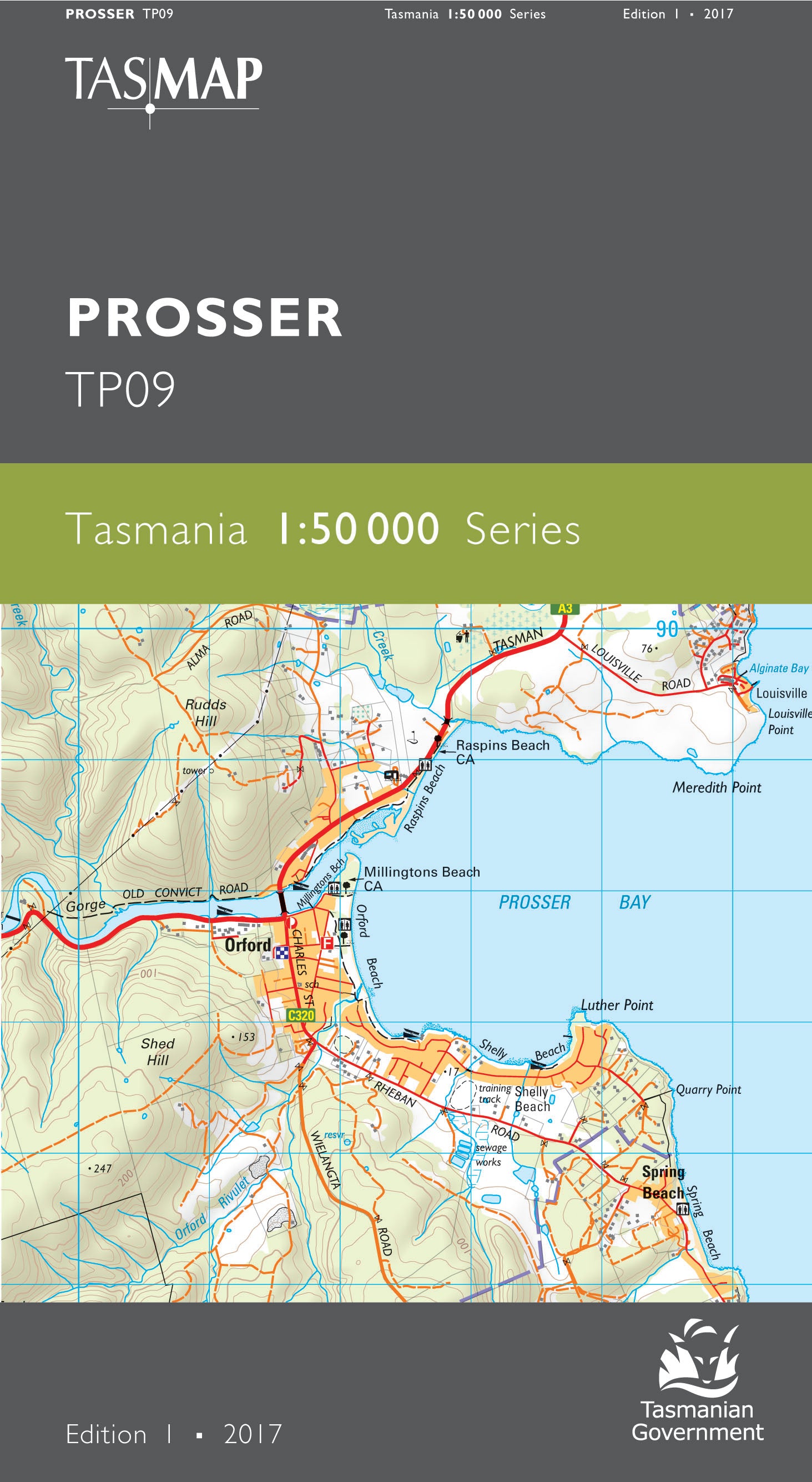
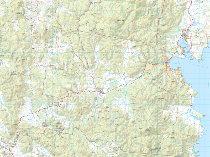
Centred on the historic township of Buckland and bisected by the Tasman Highway, this map covers part of Mercury Passage and inland to timber production forests, conservation reserves and the sheep grazing districts of Woodsdale, Levendale, Runnymede, Buckland, Nugent and Rheban. The popular holiday township of Orford lies on the coast at the mouth of the Prosser River while the portside town of Triabunna is the gateway to the natural wonders and historic sites of Maria Island. An ideal map for holiday makers, fishers, walkers and explorers of this part of Tasmania's east coast.
If a digital download is purchased you will receive 3 files. The GeoTIFF and GeoPDF are suitable for use with many smartphones, GPS devices and in GIS software packages. The KMZ will automatically open in Google Earth.


