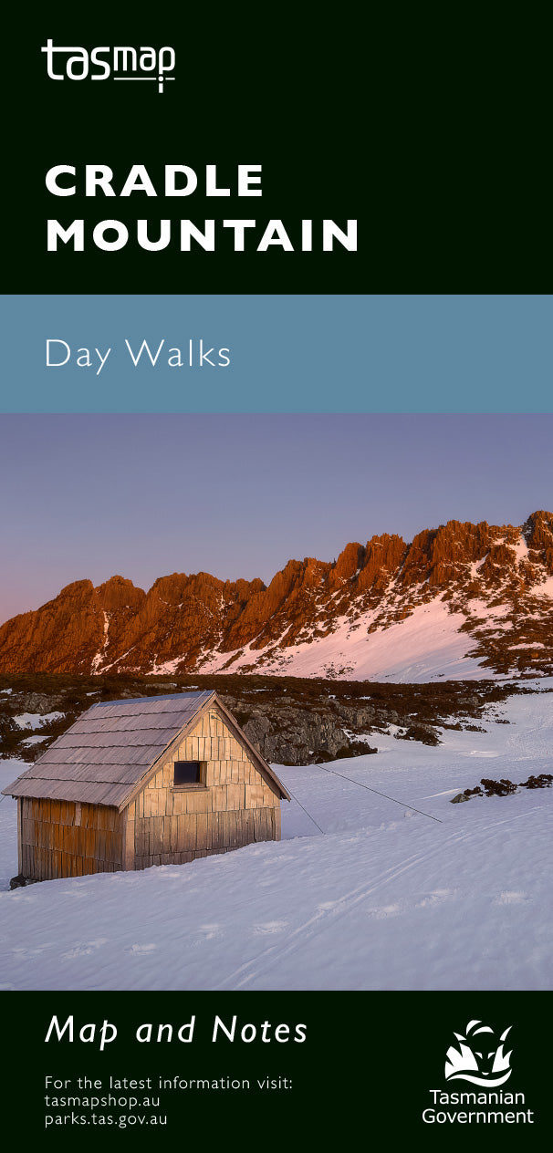
Cradle Mountain Day Walk Map
Production Year: 2023
Scale: 1:100 000
Datum: Geocentric Datum of Australia 2020 (GDA 2020)
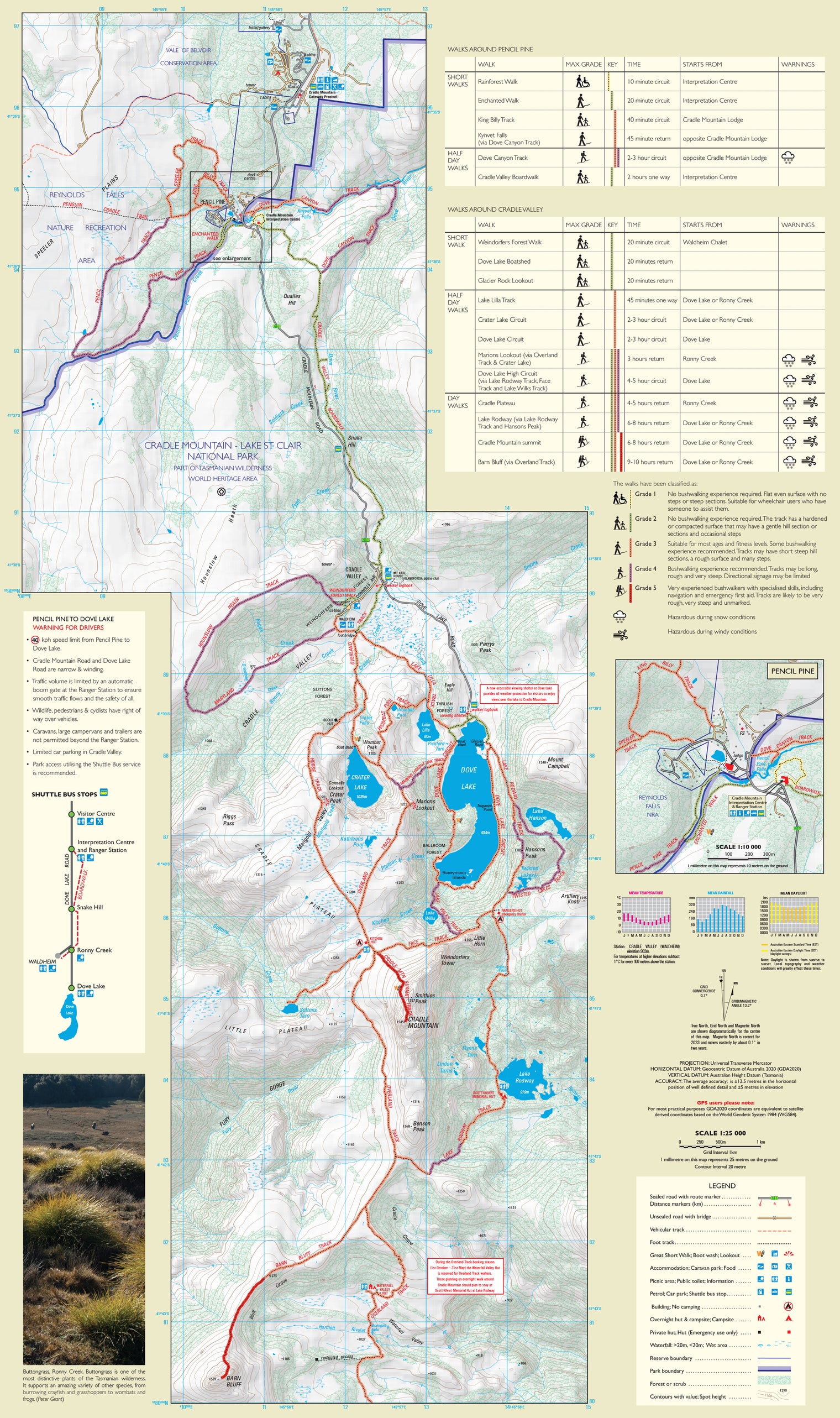
Situated in central western Tasmania, Cradle Mountain - Lake St Clair National Park is the most famous of Tasmania's national parks. Its rugged mountain peaks and alpine moorland offer some of the finest scenery in Australia, making it a mecca for bushwalkers.
This map highlights the walking tracks and features tourist information along with general topographic detail. The notes on the reverse side introduce visitors to the vegetation, land forms, animals, history of the area, bushwalking tips and safety essentials.
If a digital download is purchased you will receive 3 files. The GeoTIFF and GeoPDF are suitable for use with many smartphones, GPS devices and in GIS software packages. The KMZ will automatically open in Google Earth. Please note: the digital version includes the map image only, not the additional walk information.


