Peninsula Walks
Production Year: 2024
Scale: 1:50 000
Datum: Geocentric Datum of Australia 2020 (GDA 2020)
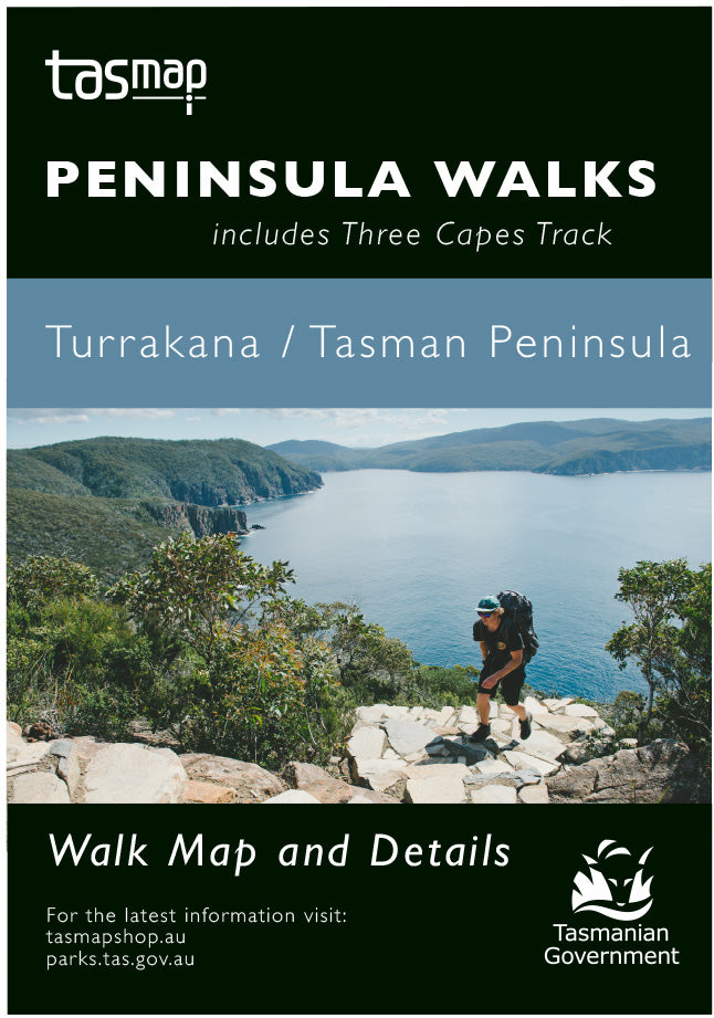
Your guide to getting the most out of your Turrakana / Tasman Peninsula experience!
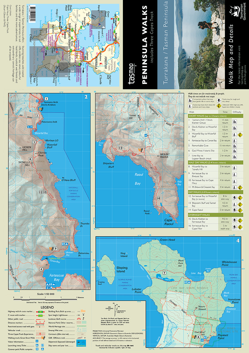
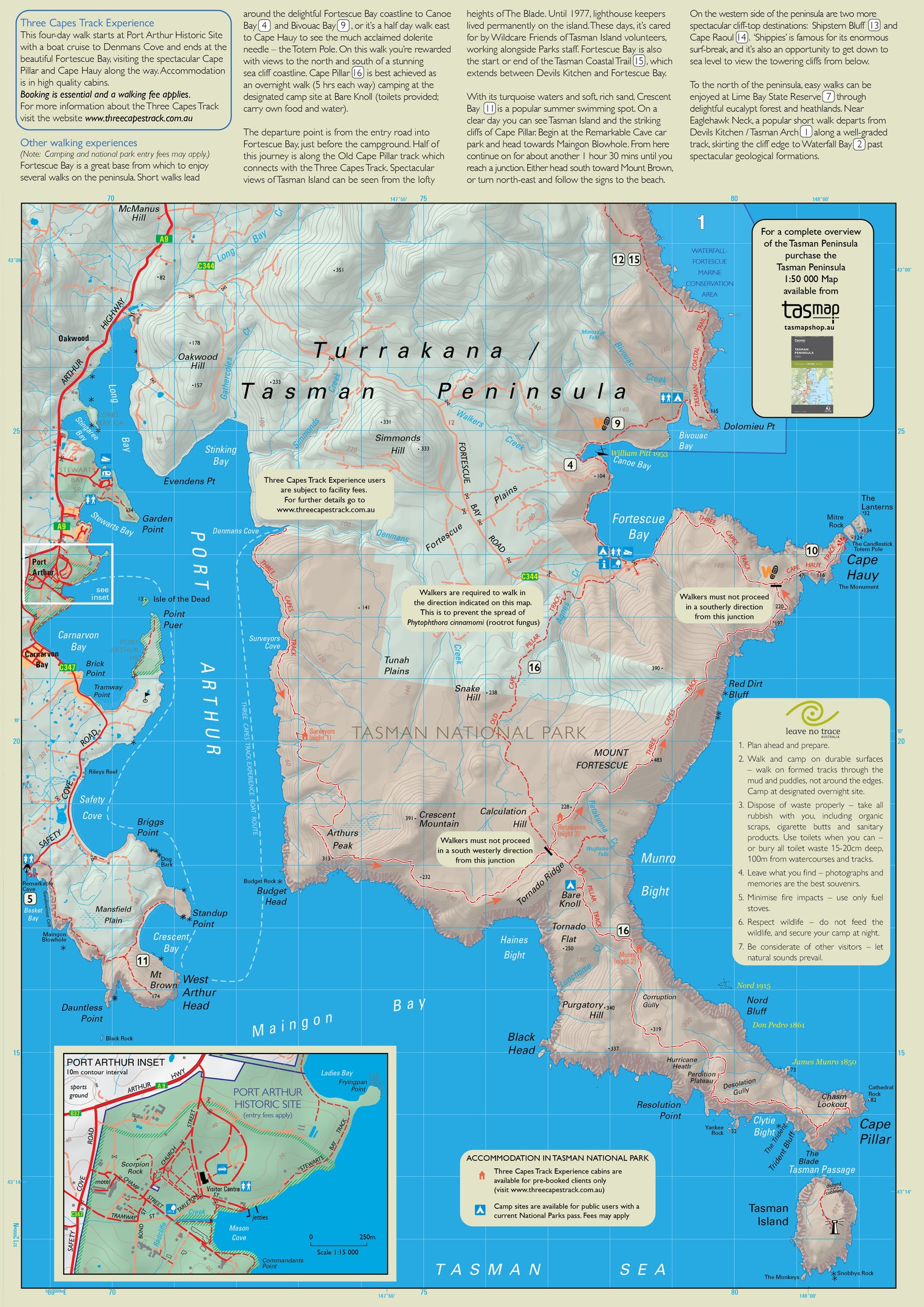
The Peninsula Walks map provides multiple map windows to provide maximum coverage while still folding to fit into your shirt pocket. This map will be an essential reference, whether you are going for a leisurely day walk or for a week-long adventure. The A3 format shows all Three Capes Tracks; Cape Pillar, Hauy and Raoul, as well as the Lime Bay State Reserve and other popular peninsula walks, including the Tasman Coastal Trail, Waterfall Bay, Tunnel Bay and Mount Brown.
This map highlights walk times, difficulty levels, public camping and facilities and features tourist information along with general topographic detail.
If a digital download is purchased you will receive 3 files. The GeoTIFF and GeoPDF are suitable for use with many smartphones, GPS devices and in GIS software packages. The KMZ will automatically open in Google Earth. Please note: the digital version includes the map images only, not the walk information.


