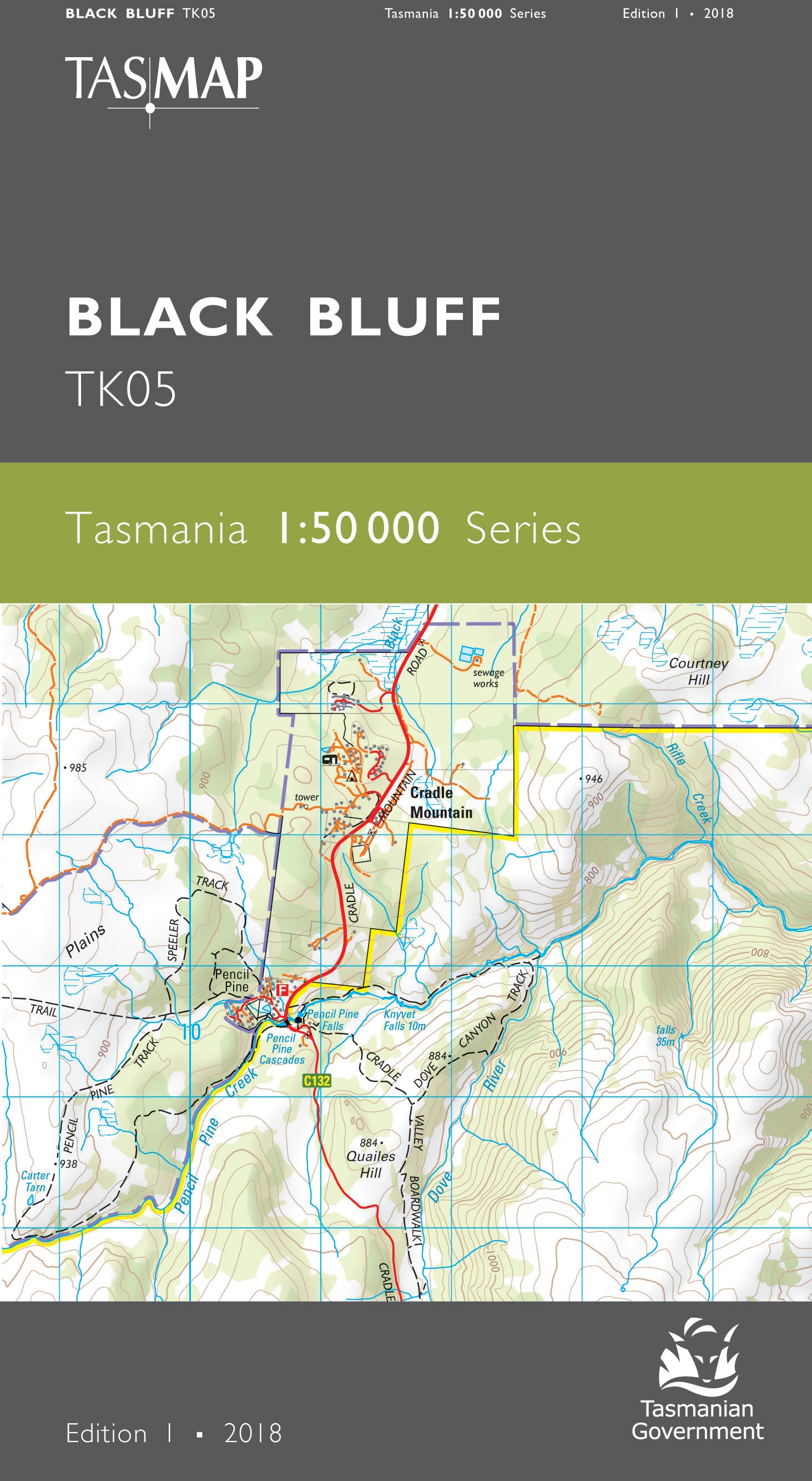
Black Bluff 1:50000 Topographic Map
$13.95 AUD
(
/
)
Unavailable
GST included
Edition: 1
Production Year: 2018
Datum: Geocentric Datum of Australia 1994 (GDA 1994)
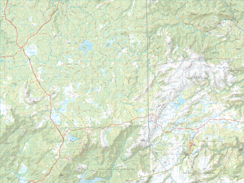
In the east of this map and commencing at Pencil Pine in the heart of Cradle Mountain country, the spectacular bushwalk known as the Penguin Cradle Trail ascends the Black Bluff Range to overlook the Vale of Belvoir. After descending to the River Leven, the trail negotiates the Leven Canyon then sidles the River north towards Gunns Plains. To the west, the map is predominantly a myriad of forestry roads amongst timber plantations, making this map an essential navigational aid.
If a digital download is purchased you will receive 3 files. The GeoTIFF and GeoPDF are suitable for use with many smartphones, GPS devices and in GIS software packages. The KMZ will automatically open in Google Earth.


