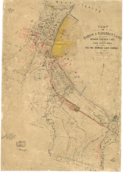
Burnie B75a - Historical Chart
Year: circa 1898
Print Size: 75cm x 103cm
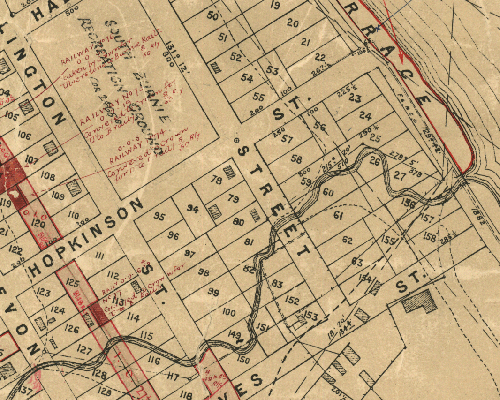
This plan of Burnie and surrounding lands was prepared for the Van Diemen's Land Company and signed by William U. Paton, Latrobe, 14 March 1898. The most notable features on the map are the subsequent notations in red ink, identifying those parcels of land acquired by the Crown for a variety of public purposes, including hospital, school, railway and the proposed route of the current-day Bass Highway. Burnie was originally part of the Van Diemen's Land Company's extensive land grant of 250,000 acres across north-west Tasmania.
Reproductions are inkjet printed on high quality paper using colour-fast UV tolerant inks. These plans and charts are suitable for laminating or framing.
Please note that historic charts and plans are printed on demand as orders are received. As such there can be an additional 2-3 day delay over and above standard delivery times.


