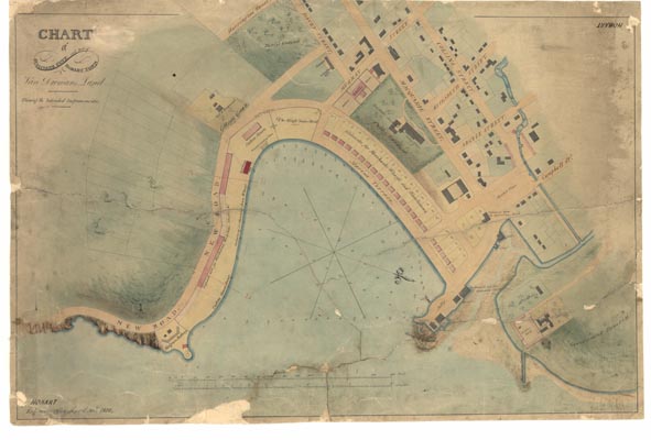
Hobart 9 - Historical Chart
Year: 1828
Print Size: 96cm x 64cm
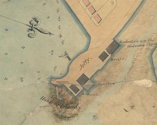
Prepared by the Engineers Office at Hobart, a chart of Sullivan's Cove by John Lee Archer. This is a 'superior' plan, but purely only in terms of the artwork. The plan is speculative, showing warehouse allotments lining the cove and linking the island onto the settlement proper. Note the alignment of Davey Street and depiction of Hunter Island. Historians will know doubt be intrigued by some of the 'details' on this plan.
Reproductions are inkjet printed on high quality paper using colour-fast UV tolerant inks. These plans and charts are suitable for laminating or framing.
Please note that historic charts and plans are printed on demand as orders are received. As such there can be an additional 2-3 day delay over and above standard delivery times.


