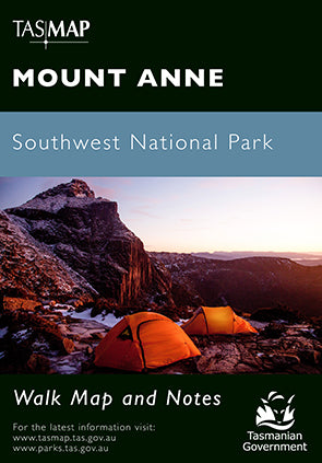
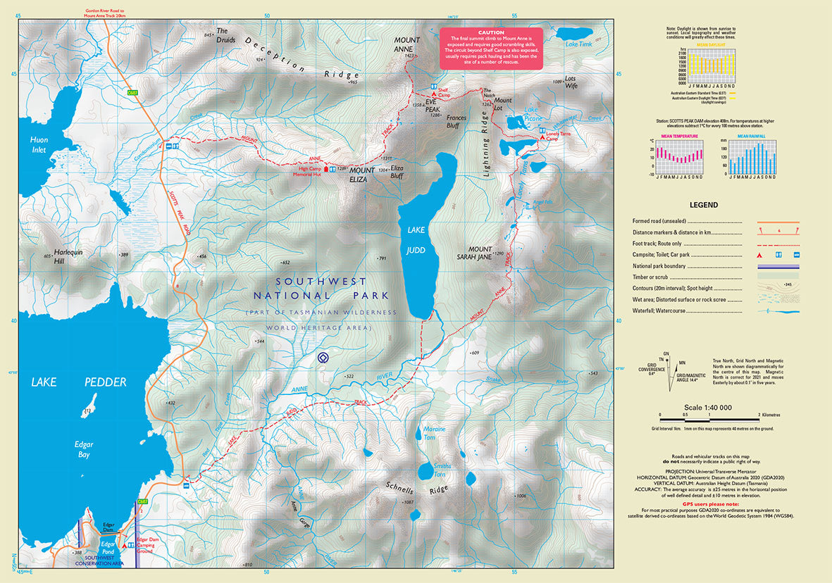
Mount Anne Walk Map
$7.95 AUD
(
/
)
Unavailable
GST included
Production Year: 2021
Scale: 1:40 000
Datum: Geocentric Datum of Australia 2020 (GDA 2020)
Mount Anne is located in Southwest National Park within the Tasmanian Wilderness World Heritage Area. With an elevation of 1423m, Mount Anne is the highest peak in south west Tasmania and dominates the region around Lake Pedder. Mount Anne is a difficult walk but, for most, the views and experience are worth the effort.
If a digital download is purchased you will receive 3 files. The GeoTIFF and GeoPDF are suitable for use with many smartphones, GPS devices and in GIS software packages. The KMZ will automatically open in Google Earth.


