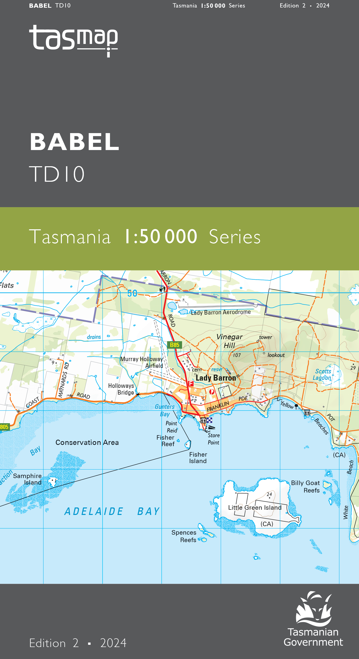
Babel 1:50000 Topographic Map
Edition: 2
Production Year: 2024
Datum: Geocentric Datum of Australia 1994 (GDA 94)
The design of the 1:50 000 Map Series provides a clear and accurate portrayal of topographic information, with symbols and map content giving enhanced depiction of buildings, hill shading and a simplified classification of vegetation.
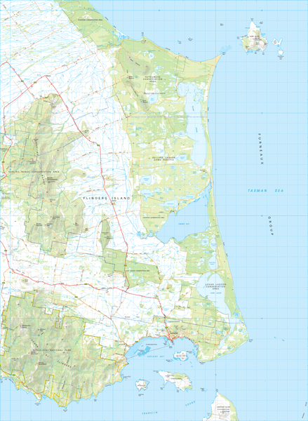
This map covers the south eastern area of Flinders Island. The highest point in the Furneaux Group, Strzelecki Peaks (782m) in the Strzelecki National Park, rises out of the surrounding flat lands. Bounded on the eastern side by Planter Beach, a network of lagoons and inlets lie within Sellars Lagoon Game Reserve and Logan Lagoon Conservation Area. The Darling Range offers walkers a challenging traverse, while The Patriarchs provides visitors close-up encounters with abundant wildlife. Lady Barron township is located on Franklin Sound opposite Great Dog, Vansittart and Cape Barren Islands. This map is a great resource for those wishing to explore this part of Flinders Island and its stunning vistas and locations.
If a digital download is purchased you will receive 3 files. The GeoTIFF and GeoPDF are suitable for use with many smartphones, GPS devices and in GIS software packages. The KMZ will automatically open in Google Earth.


