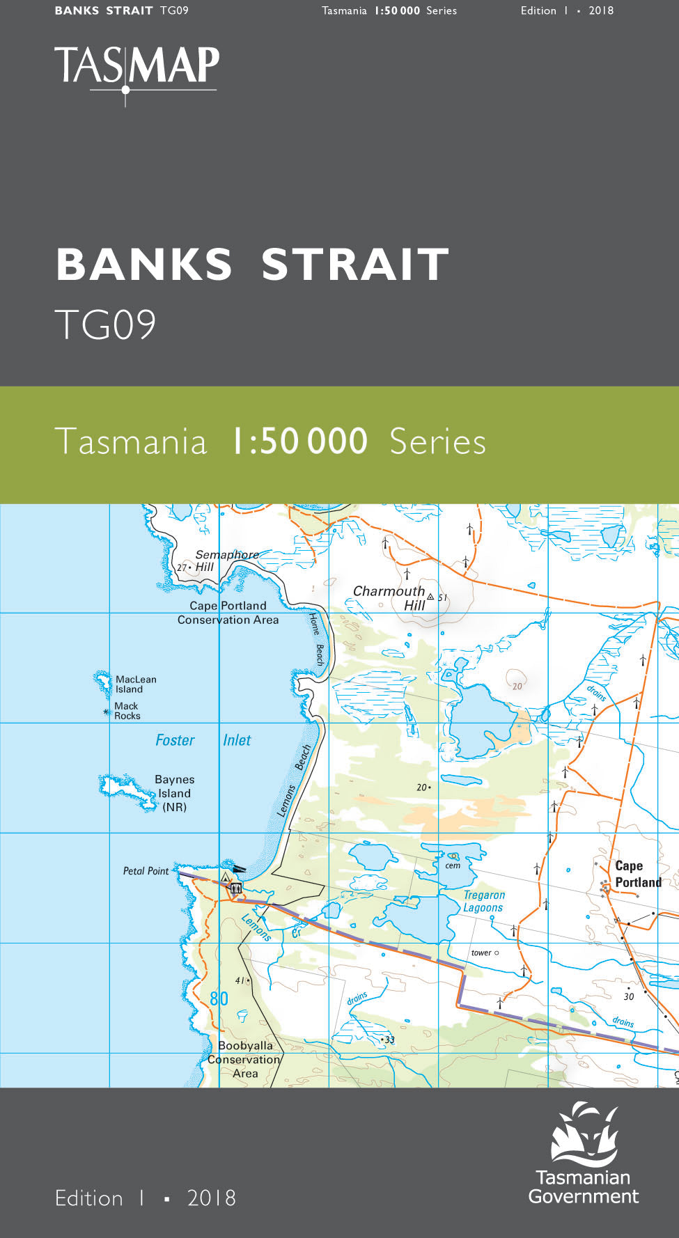
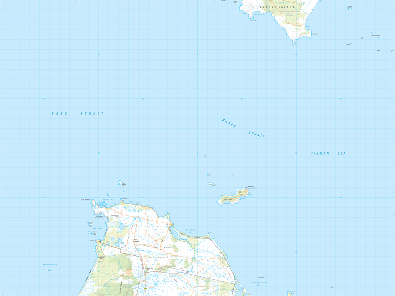
Banks Strait 1:50000 Topographic Map
$13.95 AUD
(
/
)
Unavailable
GST included
Edition: 1
Production Year: 2018
Datum: Geocentric Datum of Australia 1994 (GDA 94)
Located on the windswept most north-easterly tip of mainland Tasmania, the Musselroe Wind Farm is ideally located. This beautiful remote corner of Tasmania provides coastal camping, walking, beach fishing and swimming opportunities in the Conservation Areas overlooking Bass Strait.
If a digital download is purchased you will receive 3 files. The GeoTIFF and GeoPDF are suitable for use with many smartphones, GPS devices and in GIS software packages. The KMZ will automatically open in Google Earth.


