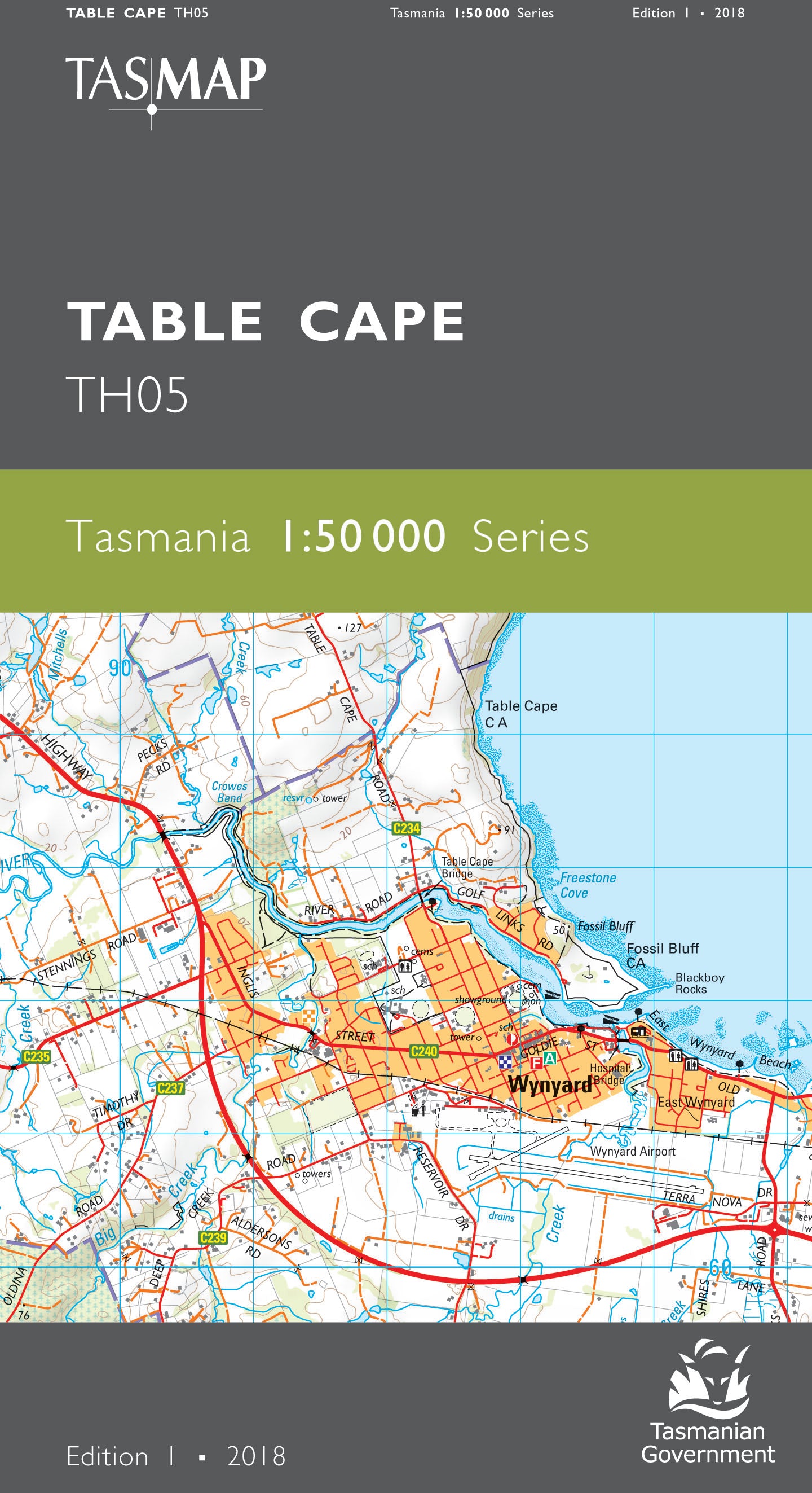
Table Cape 1:50000 Topographic Map
$13.95 AUD
(
/
)
Unavailable
GST included
Edition: 1
Production Year: 2018
Datum: Geocentric Datum of Australia 1994 (GDA 1994)
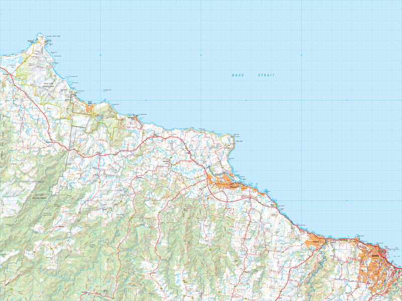
Table Cape (177m) is the central feature of this map. The area is renowned for the annual flowering of tulips during spring and is home to the Table Cape Lighthouse, standing since 1888. The port city of Burnie dominates the south east corner. Proclaimed a city in 1988, Burnie has had a long history of heavy manufacturing, forestry and farming. This map is an essential navigation aid for the adventurous exploring the northwest coast, showing the large township of Wynyard, along with the coastal holiday spots of Boat Harbour Beach and Sisters Beach.
If a digital download is purchased you will receive 3 files. The GeoTIFF and GeoPDF are suitable for use with many smartphones, GPS devices and in GIS software packages. The KMZ will automatically open in Google Earth.


