Boobyalla 1:50000 Topographic Map
$13.95 AUD
(
/
)
Unavailable
GST included
Edition: 1
Production Year: 2019
Datum: Geocentric Datum of Australia 1994 (GDA 1994)
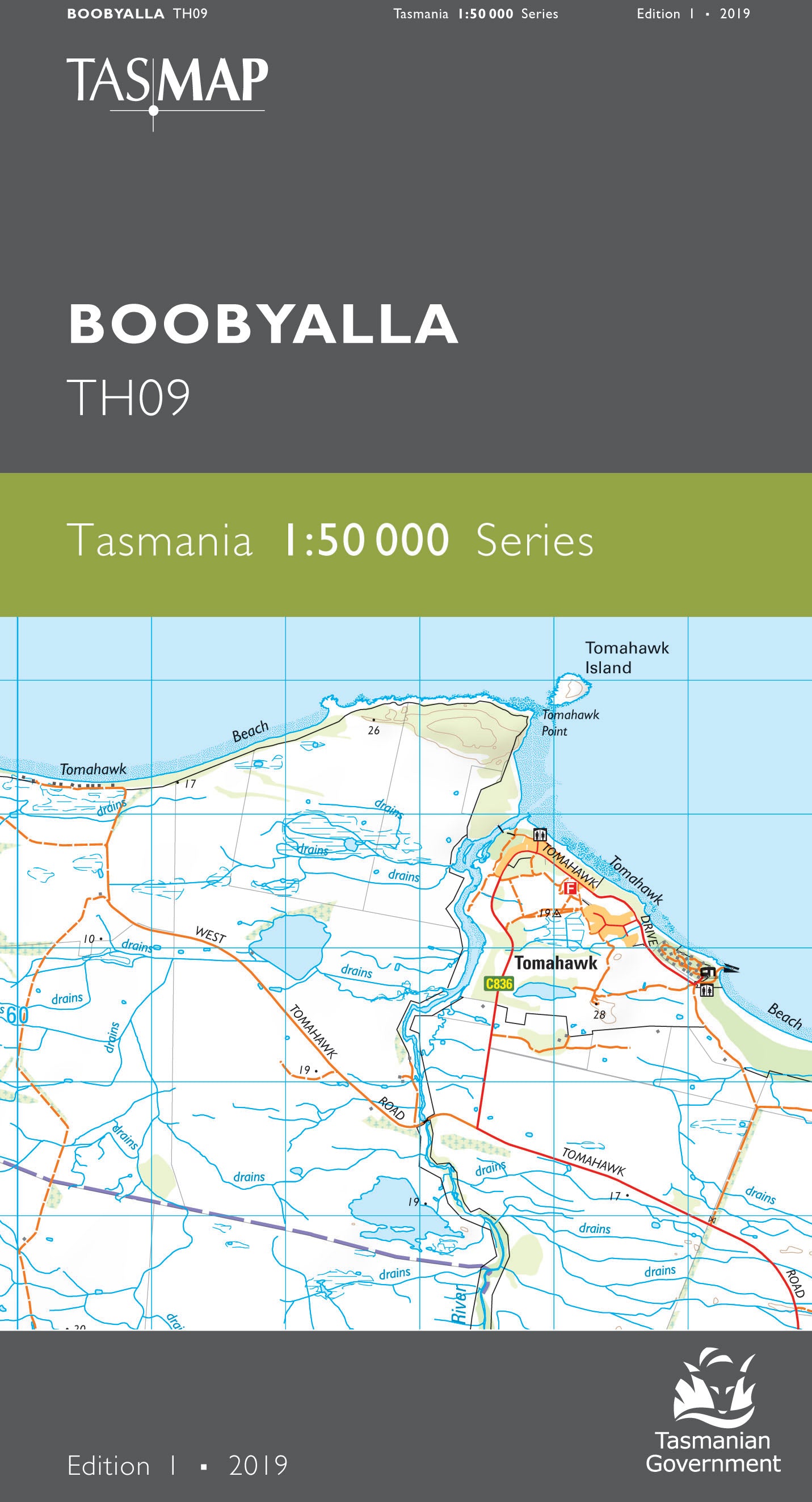
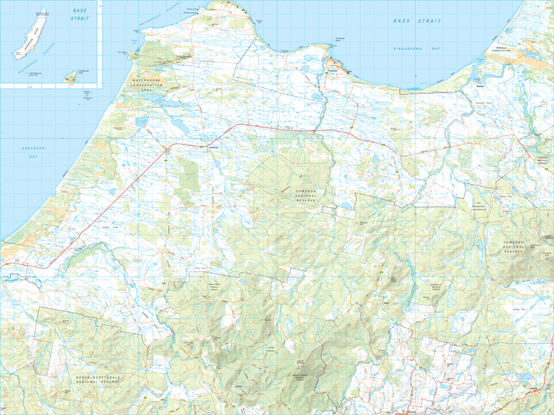
Boobyalla was a shipping port during the latter half of the nineteenth century. Coastal vessels ran regularly to the port, carting tin from the mines around nearby Mount Cameron. Little remains of Boobyalla with the area now used mainly as farming land. The seaside town of Tomahawk features a caravan park, boat ramp and small shops. A number of white sandy beaches stretch out along the regional coastline. For the holiday makers there are several camping sites in the Waterhouse Conservation Area with toilets and boat ramps.
If a digital download is purchased you will receive 3 files. The GeoTIFF and GeoPDF are suitable for use with many smartphones, GPS devices and in GIS software packages. The KMZ will automatically open in Google Earth.


