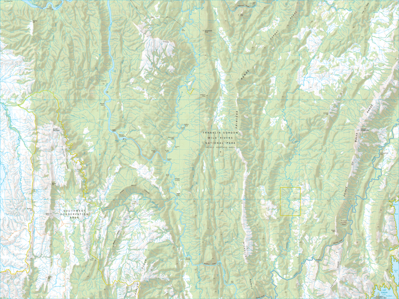
Princess Range 1:50000 Topographic Map
$13.95 AUD
(
/
)
Unavailable
GST included
Edition: 1
Production Year: 2021
Datum: Geocentric Datum of Australia 2020 (GDA 2020)
The Princess Range lies parallel to the lower Franklin River in Tasmania's rugged Franklin - Gordon Wild Rivers National Park which is in the heart of the Tasmanian Wilderness World Heritage Area. This ancient land of deep gorges, ancient forests, caves and rivers was nearly flooded by hyrdo-electric scheme in the 1980s but was saved by a High Court decision. The Franklin River is now a mecca for rafters.
If a digital download is purchased you will receive 3 files. The GeoTIFF and GeoPDF are suitable for use with many smartphones, GPS devices and in GIS software packages. The KMZ will automatically open in Google Earth.


