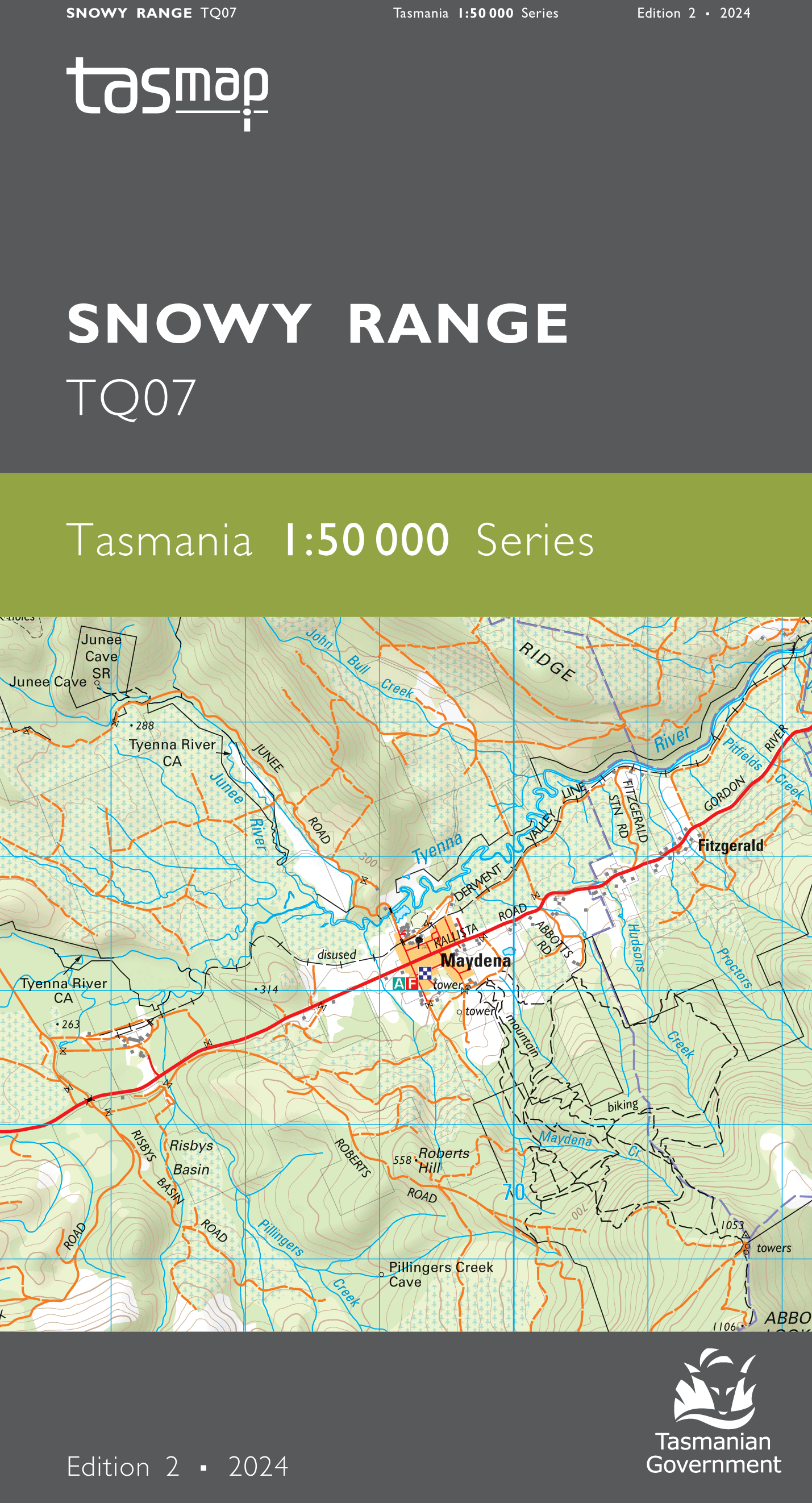
Snowy Range 1:50000 Topographic Map
Edition: 2
Production Year: 2024
Datum: Geocentric Datum of Australia 1994 (GDA 1994)
The design of the 1:50 000 Map Series provides a clear and accurate portrayal of topographic information, with symbols and map content giving enhanced depiction of buildings, hill shading and a simplified classification of vegetation.
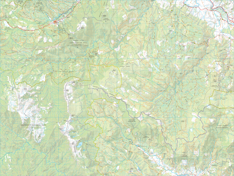
Snowy Range is the dominant topographic feature of the area. The range not only forms the boundary between the Huon Valley and Derwent Valley local government areas it also marks the transition from a production forest area to wilderness. To the east an extensive network of roads service the forest industry in the Huon and Plenty valleys. To the west lies the Tasmanian Wilderness WHA. The Styx valley to the north, once a production forest but now a substantial reserved area, contains some of the largest hardwood trees on the planet.
If a digital download is purchased you will receive 3 files. The GeoTIFF and GeoPDF are suitable for use with many smartphones, GPS devices and in GIS software packages. The KMZ will automatically open in Google Earth.


