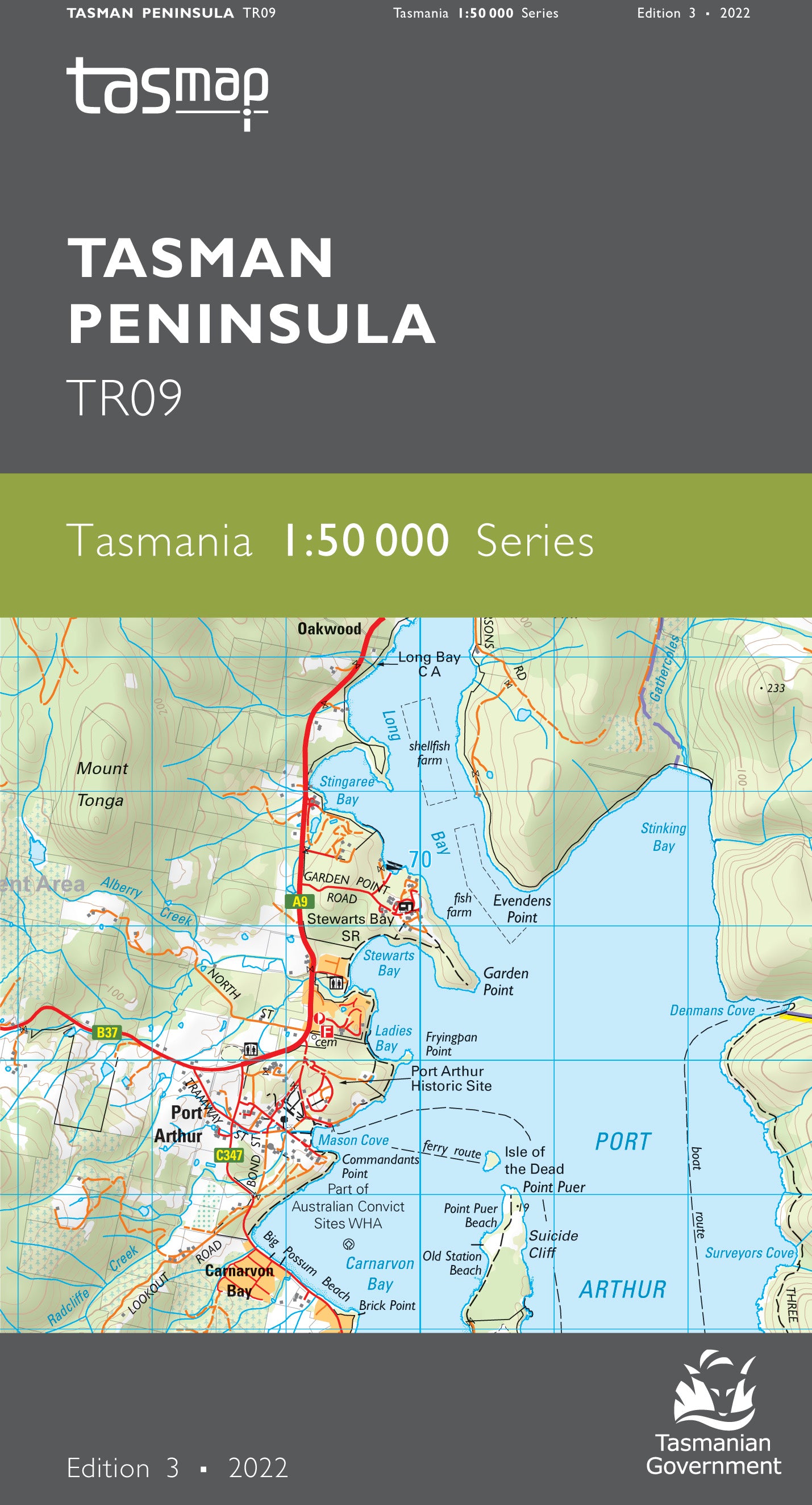
Tasman Peninsula 1:50000 Topographic Map
$13.95 AUD
(
/
)
Unavailable
GST included
Edition: 3
Production Year: 2022
Datum: Geocentric Datum of Australia 2020 (GDA 2020)
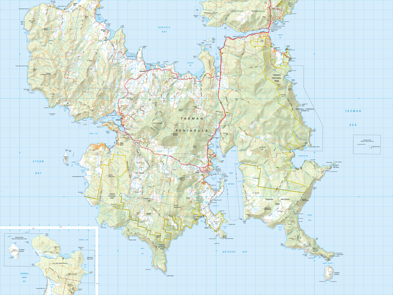
The map covers the entire Tasman Peninsula. The Tasman National Park, renowned for its spectacular coastal scenery, diverse forests and Three Capes Experience, is a prominent feature of the area. Additionally, two Historic Sites at Port Arthur and Coal Mines, both inscribed on the World Heritage List as part of the Australian Convict Sites World Heritage are popular with visitors. The coastal conditions vary from huge waves for surfers to sheltered bays sought by recreational fishers and boat owners.
If a digital download is purchased you will receive 3 files. The GeoTIFF and GeoPDF are suitable for use with many smartphones, GPS devices and in GIS software packages. The KMZ will automatically open in Google Earth.


