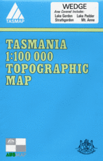
Wedge 1:100000 Topographic Map
$9.95 AUD
(
/
)
Unavailable
GST included
Edition: 6
Production Year: 2007
Datum: Geocentric Datum of Australia 1994 (GDA 1994)
The 1:50 000 Series provides clear and accurate portrayal of topographic information, with symbols and map content giving enhanced depiction of buildings, hill shading and a simplified classification of vegetation.
The Denison Range and Lake Pedder maps are now available and cover the Wedge map area.


