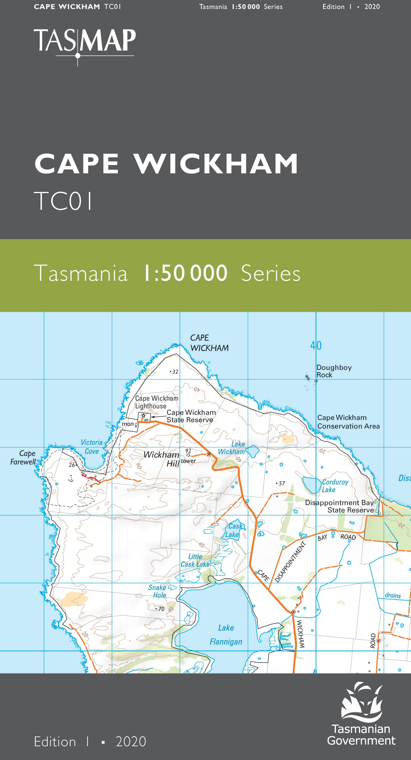
Cape Wickham 1:50000 Topographic Map
Edition: 1
Production Year: 2020
Datum: Geocentric Datum of Australia 2020 (GDA 2020)
The design of the 1:50 000 Map Series provides a clear and accurate portrayal of topographic information, with symbols and map content giving enhanced depiction of buildings, hill shading and a simplified classification of vegetation.
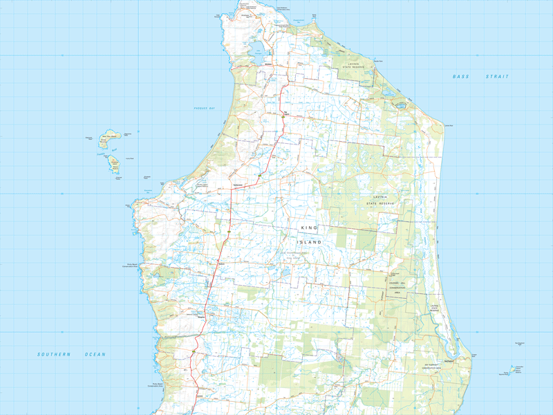
This map covers the northern half of King Island and combined with Cataraqui 1: 50 000 topographical map gives full coverage of the whole island. The mild moist climate and fertile soils support a strong cattle industry producing some of the Australia's finest beef and dairy products. The island is surrounded by coastline consisting of windswept sand dunes and some breathtaking long isolated white sandy beaches including; Nine Mile, Yellow Rock and Lavinia. The renowned Cape Wickham Golf Course attracts both national and international tourists.
If a digital download is purchased you will receive 3 files. The GeoTIFF and GeoPDF are suitable for use with many smartphones, GPS devices and in GIS software packages. The KMZ will automatically open in Google Earth.


