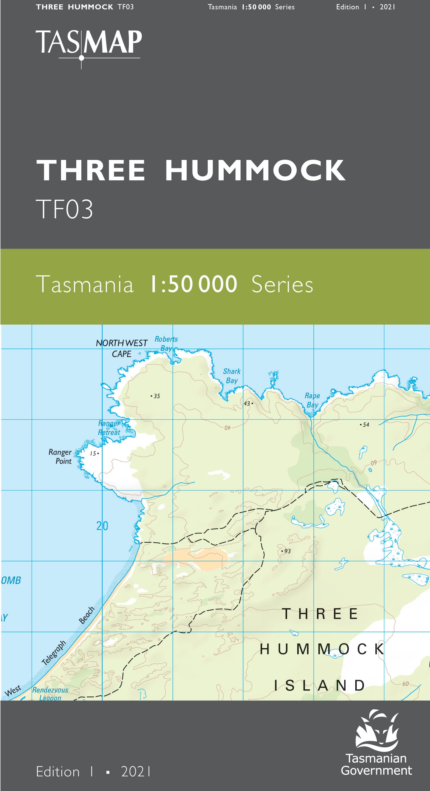
Three Hummock 1:50000 Topographic Map
$13.95 AUD
(
/
)
Unavailable
GST included
Edition: 1
Production Year: 2021
Datum: Geocentric Datum of Australia 2020 (GDA 2020)
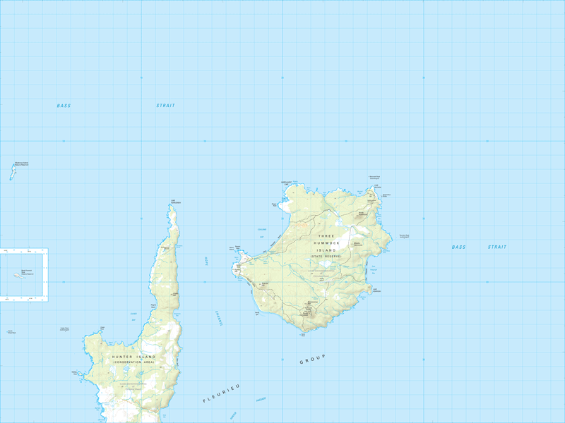
Three Hummock Island and Hunter Island are the features of this map. Three Hummock Island has been described as a true castaway experience with lichen-splashed granite headlands and empty beaches. Part of the Fleurieu Group, Three Hummock Island is a 70 square kilometre granite island named after its three most prominent hills, North, Middle and South Hummock. Part of the island is a nature reserve, and much is covered by dense scrub. Hunter Island is also part of the Fleurieu Group and is run as a cattle property.
If a digital download is purchased you will receive 3 files. The GeoTIFF and GeoPDF are suitable for use with many smartphones, GPS devices and in GIS software packages. The KMZ will automatically open in Google Earth.


