Boullanger 1:50000 Topographic Map
$13.95 AUD
(
/
)
Unavailable
GST included
Edition: 1
Production Year: 2021
Datum: Geocentric Datum of Australia 2020 (GDA 2020)
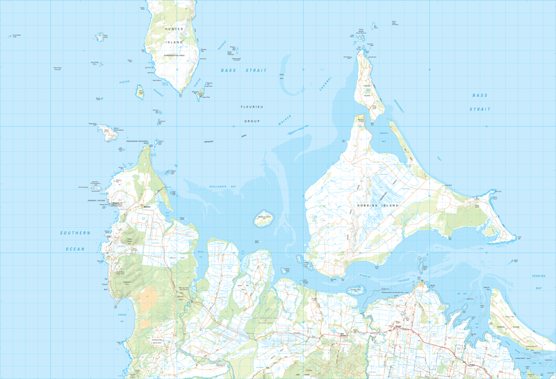
The north-west tip of Tasmania is an area of historical interest, with ancient aboriginal heritage reflected in the recent introduction of indigenous names for features on this map. This rugged coastline is home to windfarms at Studland Bay and Flat Topped Bluff, generating a total of 139 MW of power, an indication of the strength of the winds coming off the Southern Ocean. The Cape Grim Baseline Air Pollution Station has recorded these winds as the cleanest air in the world.
The agricultural region is characterised by large flat plains supporting sheep and cattle farming, with a large number of drains built to carry away water from the high rainfall brought in by the westerly winds. The large tidal flats and saltmarsh areas are an important habitat for bird populations.
If a digital download is purchased you will receive 3 files. The GeoTIFF and GeoPDF are suitable for use with many smartphones, GPS devices and in GIS software packages. The KMZ will automatically open in Google Earth.


