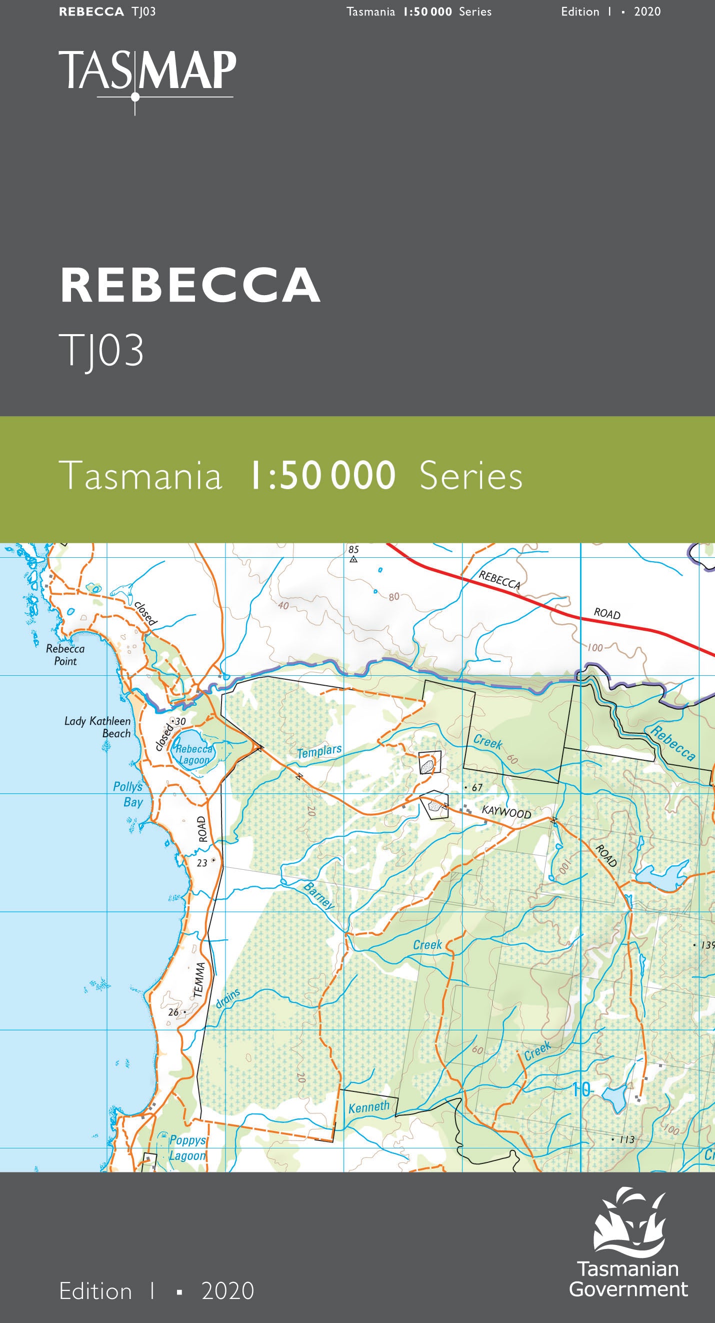
Rebecca 1:50000 Topographic Map
$13.95 AUD
(
/
)
Unavailable
GST included
Edition: 1
Production Year: 2020
Datum: Geocentric Datum of Australia 2020 (GDA 2020)
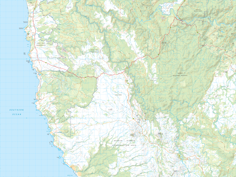
This map features the heavily weathered coastline extending from Couta Rocks to the north and Sandy Cape Beach to the south. Featuring many remote sandy beaches, sand areas and rocky foreshore, this remote area is popular for a wide range of recreational activities including 4WD, motorbike and surfing. Moving inland there is the abandoned mine and town of Balfour which was one of the major copper mines in the Western district before being abandoned in 1924. The map covers large tracts of cool temperate rainforest which can be explored using the scenic Blackwater and Sumac Roads or numerous walking tracks.
If a digital download is purchased you will receive 3 files. The GeoTIFF and GeoPDF are suitable for use with many smartphones, GPS devices and in GIS software packages. The KMZ will automatically open in Google Earth.


