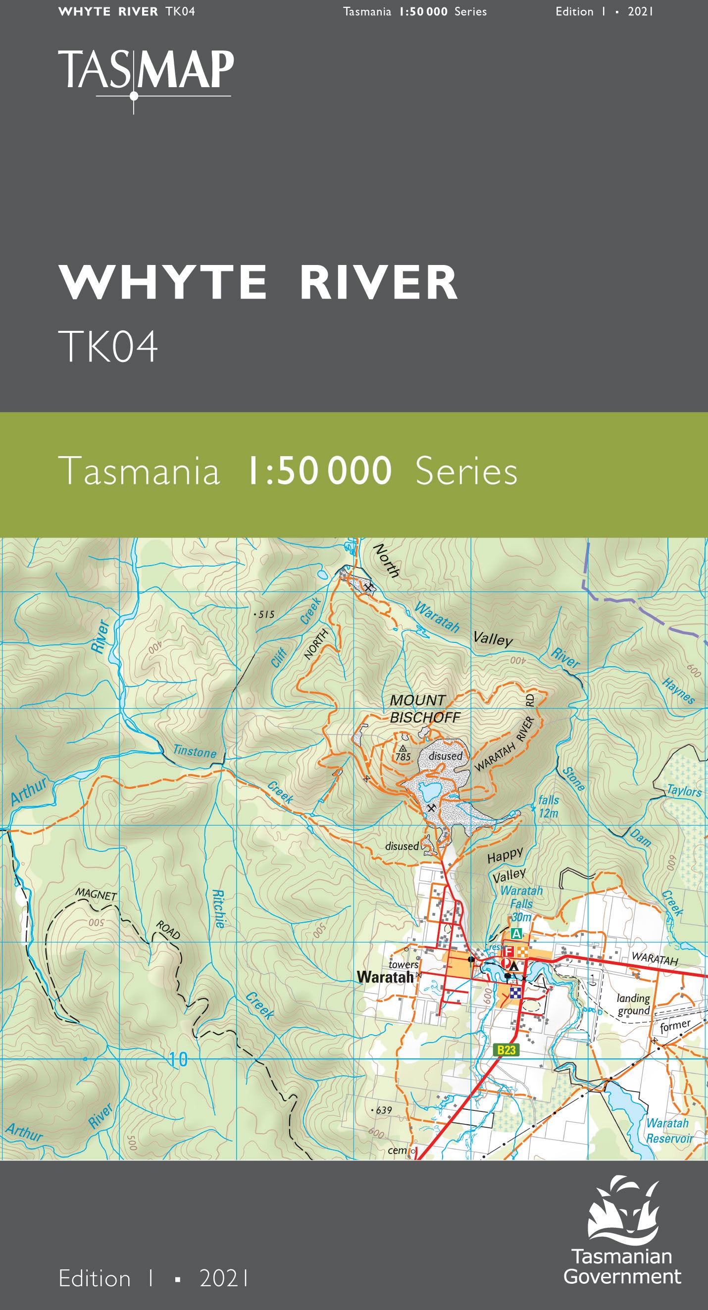
Whyte River 1:50000 Topographic Map
$13.95 AUD
(
/
)
Unavailable
GST included
Edition: 1
Production Year: 2021
Datum: Geocentric Datum of Australia 2020 (GDA 2020)
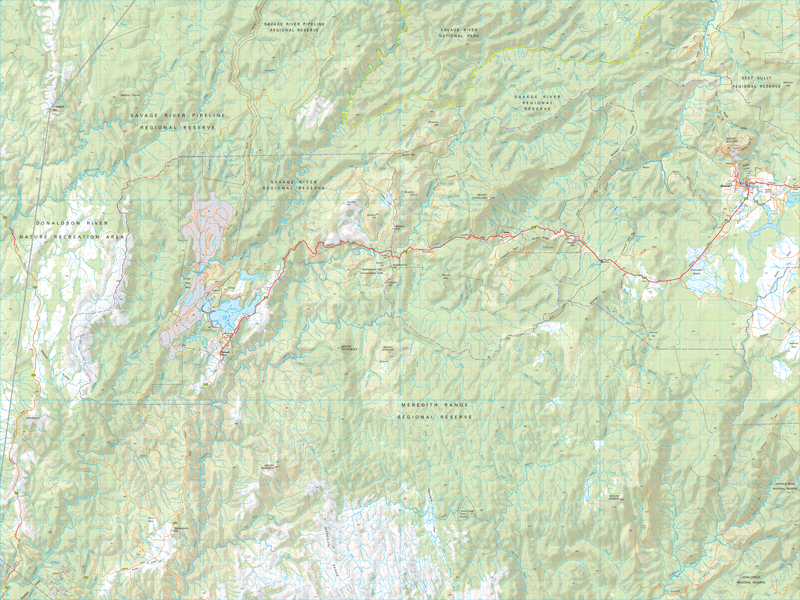
This map features large tracts of temperate rainforest, being in the heart of takayna/Tarkine wilderness. The scenic area contains a number of tracks which attract bushwalkers and sightseers to its hilly terrain, rivers, streams and waterfalls, including the 40 metre high Philosopher Falls. The Savage River Mine is one of the states key mines, producing iron ore, while the town of Waratah supported a tin mine at Mount Bischoff during the late 19th/early 20th century and was Australias first town to have electric street lights. The town is now much smaller and has the unique feature of a waterfall in the town centre.
If a digital download is purchased you will receive 3 files. The GeoTIFF and GeoPDF are suitable for use with many smartphones, GPS devices and in GIS software packages. The KMZ will automatically open in Google Earth.


