Jerusalem 1:50000 Topographic Map
$13.95 AUD
(
/
)
Unavailable
GST included
Edition: 3
Production Year: 2022
Datum: Geocentric Datum of Australia 2020 (GDA 2020)
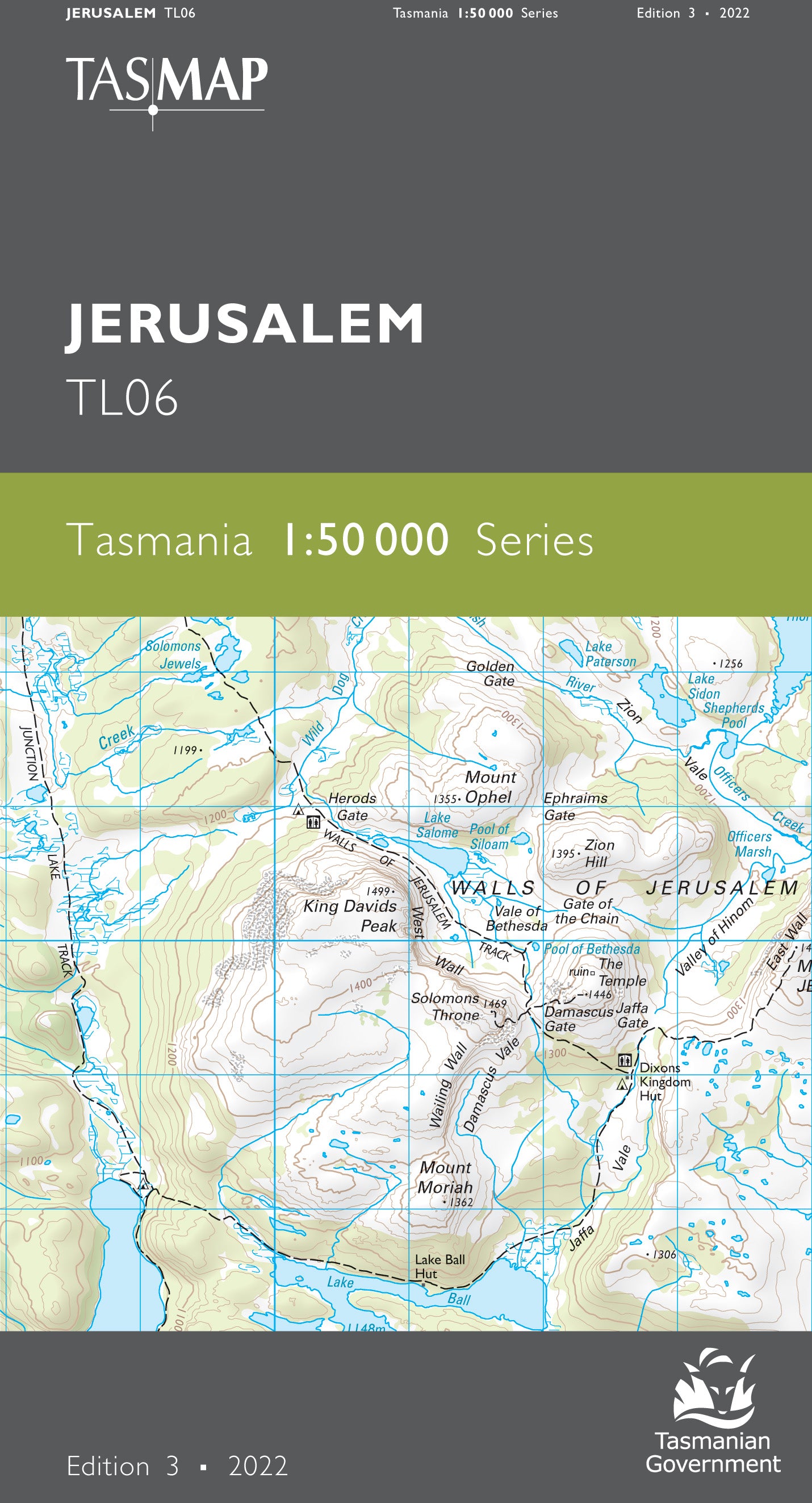
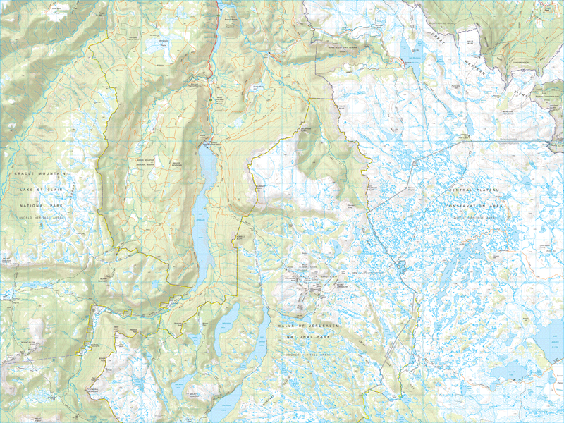
This map is centred about the iconic and picturesque Walls of Jerusalem and includes the northern part of the national park bearing that name. The map also shows eastern approaches to Cradle Mountain - Lake St Clair National Park via the River Forth and Mersey River. A significant part of the elevated Central Plateau Conservation Area is covered by the eastern half of this map which is an essential navigation aid for walkers and wilderness fishers.
If a digital download is purchased you will receive 3 files. The GeoTIFF and GeoPDF are suitable for use with many smartphones, GPS devices and in GIS software packages. The KMZ will automatically open in Google Earth.


