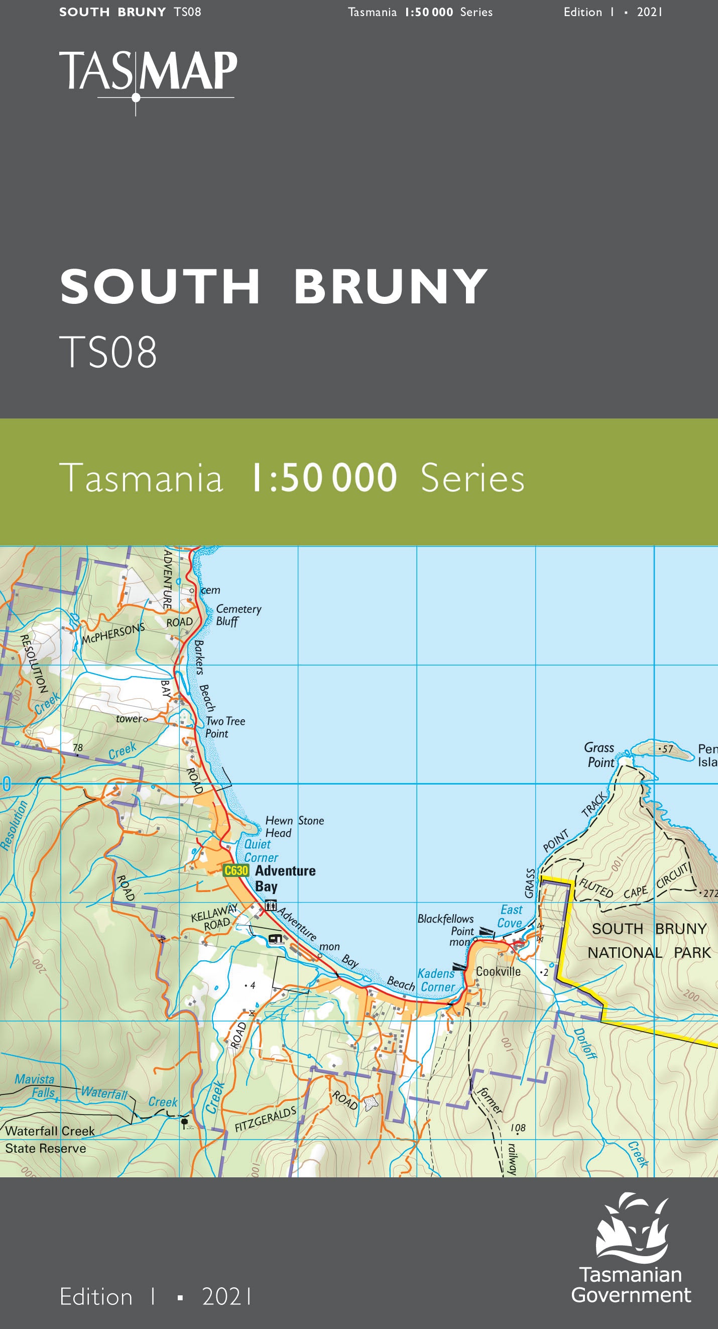
South Bruny 1:50000 Topographic Map
$13.95 AUD
(
/
)
Unavailable
GST included
Edition: 1
Production Year: 2021
Datum: Geocentric Datum of Australia 2020 (GDA 2020)
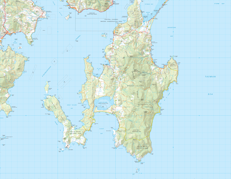
This map covers the portion of Bruny Island south of the Bruny Island Neck and a small portion of mainland Tasmania in the vicinity of Dover and Port Esperance. South Bruny consists of numerous small towns including Alonnah, Lunawanna and the tourist hotspot of Adventure Bay. The southern and coastal area are included in the South Bruny National Park, featuring breathtaking cliffs, forests and sandy beaches attracting both bushwalkers and campers. Cape Bruny Lighthouse is a major attraction, being the fourth lighthouse in Australia to be built and overlooking the rugged cliffs towards the southern ocean. Other attractions include the scenic Cloudy Bay with numerous camping areas, beaches and walking tracks.
If a digital download is purchased you will receive 3 files. The GeoTIFF and GeoPDF are suitable for use with many smartphones, GPS devices and in GIS software packages. The KMZ will automatically open in Google Earth.


